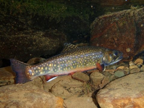
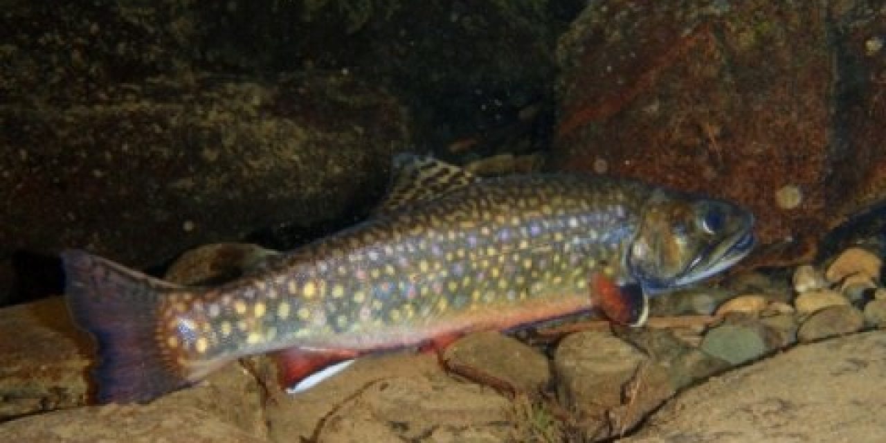
 A new model that can accurately identify stream sections that still hold suitable habitat for wild brook trout will help fisheries managers from Maine to Georgia find and protect habitat for this fish, which is an economically, socially and ecologically important species.
Developed by researchers in Penn State’s College of Agricultural Sciences, the model is important because populations of native brook trout, Salvelinus fontinalis, declined precipitously throughout the fish’s native range in the eastern United States. Brook trout have been eradicated from nearly a third of their historic watersheds and their populations have declined by more than half in an additional third of watersheds in their range, primarily because of habitat changes resulting from human land-use activities.
More than most other fish in this country, wild brook trout need clean, cold water to survive, according to Tyler Wagner, adjunct associate professor of fisheries, who is assistant leader of the Pennsylvania Cooperative Fish and Wildlife Research Unit at Penn State. However, centuries of agriculture, timbering and mining resulted in siltation, sedimentation, contamination and higher stream temperatures that doomed the fish in many of their native streams.
“Wild brook trout have relatively narrow habitat requirements, but they were historically widespread in areas where cold water, access to suitable spawning substrates and instream cover were available,” he said. “However, due to habitat loss, many populations are isolated and restricted to headwater stream systems.”
The model — developed by Jefferson DeWeber, recent Ph.D. in Wildlife and Fisheries Science now a postdoctoral scholar at Oregon State University — is described this month in the Transactions of the American Fisheries Society. This brook trout model builds upon a regional river-water temperature model published by DeWeber and Wagner earlier this year in the Journal of Hydrology.
Using observations from more than 9,000 stream sections with brook trout data, it predicts brook trout occurrence using characteristics such as water temperature, soils, and surrounding agriculture and developed land use. Accuracy-tested by the researchers on more than 1,800 stream sections, it can predict brook trout presence in the approximately 240,000 stream reaches in the historic brook trout range.
“The fisheries research information incorporated in the model was compiled from data collected by state fisheries management agencies across the brook trout range, and we linked it to a giant GIS map of streams from Maine to Georgia,” Wagner explained.
“Our model provides a further understanding of how brook trout populations are shaped by habitat characteristics in the region and yields maps of stream-reach-scale predictions, which together can be used to support ongoing conservation and management efforts. These decision- support tools can be used to identify the extent of potentially suitable habitat, estimate historic habitat losses and prioritize conservation efforts by selecting suitable stream reaches for a given action.”
The post New model identifies Eastern U.S. stream sections holding wild brook trout appeared first on OutDoors Unlimited Media and Magazine.


